The content of this page needs an update version of your flash player :

Software resources
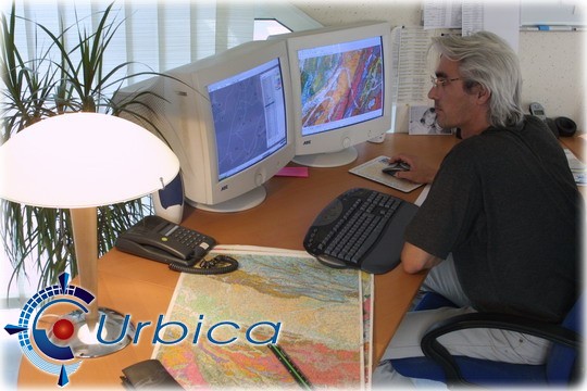
Urbica has softwares which are regularly updated for the digitization, structuring and control of the data which we produce.
Laser scanning is a constantly advancing technology. Softwares for the processing of data - generally large-scale point clouds - will need to keep abreast of any resulting improvements.
Our development skills have allowed us to produce our own solutions for the shortening of production times through the automation of certain tasks, the guaranteed maintenance of data quality and the fulfilment of specific requirements
Finally, we have acquired a degree of expertise in the management of data exchange formats between information systems, thereby allowing us to deliver file formats of any type.
- Géotrans : for the complex processing of cartographic resources;;
- ScanReview : for the Internet distribution of laser scans, based on Leica's Truview engine;
- Urbires :multi-functional solution for the structuring and control of network data;
- ContAsc : automated control of the structure of data and data relations in APIC format;
- URBI.net : management of projects involved in our quality control process;
- 4D-Survey : application for the control of a motorized theodolite in conjunction with the sounding of structures, incorporating the management of warning levels, the control of injection machines and the generation of calls to standby personnel.
- 3D Ipsos,
- Autocad,
- Cyclone register,
- GéoConcept,
- Lasergen,
- MapInfo,
- MicroStation,
- PointCloud,
- Pointools,
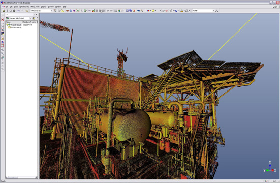
- Realworks Survey,
- SceneManager,
- Truview...