The content of this page needs an update version of your flash player :

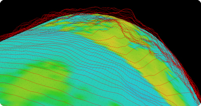
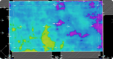
Topographic laser scanning
With the emergence of laser scanning, topography has enjoyed access to a technology which has enhanced the speed, effectiveness or accuracy of specific applications.
The density of point capture associated with laser scanning is both greater and faster than surveying by theodolite. 3D laser scanning, as a complementary technology to topographic tools, therefore allows the generation of more detailed matrices, providing an exhaustive survey of a given site with a very high level of detail.
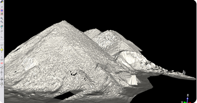
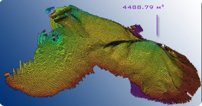
The resulting cloud of points has the benefit of allowing any dimension to be determined, without the need to revisit the site concerned.
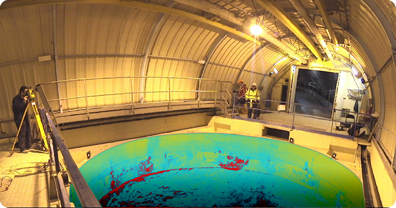
Take a look at the many fields in which 3D scanning can be applied.