The content of this page needs an update version of your flash player :

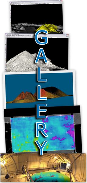
Digital elevation model by the use of 3D laser scanner
The 3D representation of a given surface will be essential to any plans for a structural installation on that site or the calculation of risks (creep or subsidence).
A 3D representation will also facilitate the visualization of a given environment, even to the less expert eye.
In addition to the speed and exhaustiveness of measurements, the calculation of a digital land model from a 3D scan provides a level of detail which only this technology can deliver.
In just a few seconds, the device used can record over 1000 points per m² at a distance of up to 300 m. The result is a highly detailed and accurate matrix plot.
APPLICATIONS
- Overlay of aerial photo on a digital elevation model
- Generation of a 3D digital elevation model
- Real-time monitoring of deformation
back to top of page
BENEFITS
- Large-scale data capture
- Detailed scan matrix of the point cloud
- High-speed scans
back to top of page
END PRODUCTS
- Files types: Autocad (DXF/DWG), Microstation (DGN),
Solidworks, 3DStudioMax (3ds & max), Realworks (RWP),
Pointools (POD/PTL) , PDMS (macros), PDS, and of course all the open format files like IGES, OBJ, STEP, VRML etc... - 3D mesh
- Points cloud
- 2 dimensional images (cut sections, layouts, …)
- 2 dimensional digitized file ( cut sections, layouts,…)
- Scan-review (Collaborative review of laser survey)
back to top of page
REFERENCES