The content of this page needs an update version of your flash player :

Structures monitoring
Topographic monitoring is applied for the analysis of deformations and geometrical variations in large-scale sites over time.
The benefits of a 3D laser scanning facility are unquestionable, where the monitoring of surfaces requires accuracy and a high level of detail, particularly in the case of non-regular geometrical forms.
Superior reproducibility of measurement will ensure the accuracy of controls between two points in time, in two measurement programmes which are staggered over time.
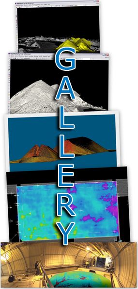
APPLICATIONS
- Control of subsidence, torsion, deformation and settlement
- Specifically for civil engineering structures: bridges, tunnels,
viaducts, etc. - Landslips, quarries, ditches, etc.
- Potentially affecting all areas: buildings, industrial facilities,
monuments - Comparison of successive states
- Real-time monitoring of deformation
back to top of page
BENEFITS
- Detailed scan matrix of the point cloud
- Accuracy to the millimetre
- Large-scale data capture
- High-speed scans
back to top of page
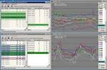
END PRODUCTS
- Files types: Autocad (DXF/DWG), Microstation (DGN),
and of course all the open format files like IGES, OBJ, STEP, VRML etc... - 3D images, including comments and collaborative exchange (Scan-review)
- 3D model
- Deviation chart (in 2D, with a scale of colours for the representation
of deviations) - Points cloud
- 2 dimensional images (cut sections, layouts, …)
- 2 dimensional digitized file ( cut sections, layouts,…)
- Scan-review (Collaborative review of laser survey through panoramic images)
back to top of page
REFERENCES