The content of this page needs an update version of your flash player :

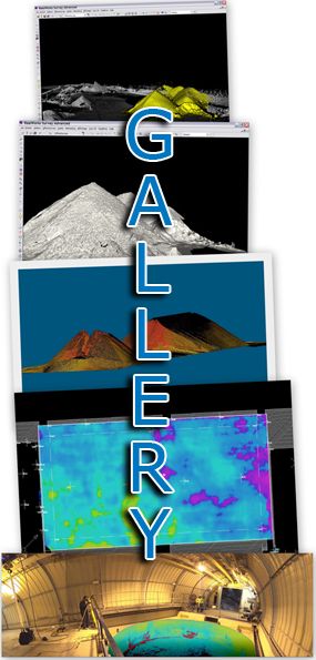
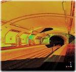
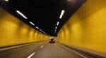
Laser scanning in tunnels and shafts
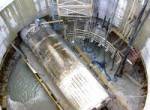
The maintenance of underground facilities will generally involve the temporary closure of the structure concerned.
In many cases, the speed of service of a contractor will be a decision-making factor for the operators of road or rail tunnels, service tunnels, bridges or caves which are accessible to the public.
The recording of surveys and the production of plans (in advance of maintenance) will be bound by the same requirements; this is the revolutionary aspect of dimensional surveys by 3D laser scanning: a given environment can be surveyed through 360° at high speed, allowing a virtual tour of the facility concerned to be taken thereafter ... at the visitor's leisure.
APPLICATIONS
- Road profile
- Structural renovation
- Structural inspection
- Reconstruction of an accident scene
- Deformation control
- Management of civil engineering structure
- Sounding and monitoring
back to top of page
BENEFITS
- High-speed capture of measurements
- Highly accurate data files
- Straightforward comparison of successive states
- Ergonomic 3D output
back to top of page
END PRODUCTS
- Files types: Autocad (DXF/DWG), Microstation (DGN),
Solidworks, 3DStudioMax (3ds & max), Realworks (RWP),
Pointools (POD/PTL) , PDMS (macros), PDS, and of course all the open format files like IGES, OBJ, STEP, VRML etc... - Structured 3D models
- Points cloud
- 2 dimensional images (cut sections, layouts, …)
- 2 dimensional digitized file ( cut sections, layouts,…)
- Scan-review (Collaborative review of laser survey through panoramic images)
back to top of page
REFERENCES