The content of this page needs an update version of your flash player :

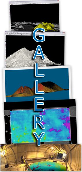
Laser scanning for volumetric measurements
The management of natural resources requires ongoing monitoring and regular controls; licence-holders for the extraction of materials, quarries or landfill sites will need to determine the quantities of products involved.
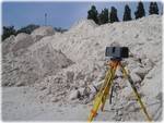
In comparison with conventional topographic surveys, laser scanning offers the benefits of an incomparable speed of data acquisition and superior accuracy in volumetric calculations.
Reports and data delivered by Urbica in conjunction with its services will allow the determination of tonnages, the completion of inventories, the updating of fees, etc.

APPLICATIONS
- Volumetric calculation of excavated or stacked material (cubic metres)
- Calculation of spatial requirements (width, length, height)
- Comparison of successive states
- Determination of volume or weight
- Annual inventory of stocks
- Control of extraction of deposits
- Digital elevation modelling
back to top of page
BENEFITS
- High-speed capture of measurements
- Highly accurate data files
- Straightforward comparison of successive states
- Ergonomic 3D output
back to top of page
END PRODUCTS
- Files types: Autocad (DXF/DWG), Microstation (DGN),
Realworks (RWP),Pointools (POD/PTL) , and of course all the open format files like IGES, OBJ, STEP, VRML etc... - Digital elevation model (DEM)
- Volumetric calculations reports
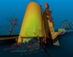
- Points cloud
- 2 dimensional images (cut sections, layouts, …)
- Scan-review (Collaborative review of laser survey through panoramic images)
back to top of page
REFERENCES